ISLAMABAD, May 15 (APP): Inter Islamic Network on Space Sciences and Technology (ISNET) Secretariat in collaboration with SUPARCO is organizing distance training course on “Advanced Remote Sensing Applications in Forestry” from May 23-27.
The course aims to provide the advanced understanding of GIS and Remote Sensing and their applications in forestry.
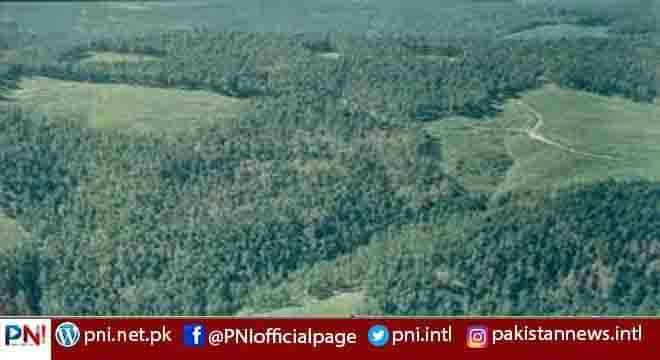
The course progresses from digital image processing for mapping forest density, forest biophysical parameters using high resolution satellite datasets followed by mapping forest types using hyper spectral data sets.
According to an official of ISNET, the course will navigate through GIS as well as remote Sensing software packages to achieve the objectives.
About the course contents, the official conveyed that it will include Introduction to RS and GIS, Remote Sensing of Vegetation, Radiometric, Atmospheric and Topographic Correction, Knowledge Based Image Classification, Object Based Image Classification, Sampling and Field Validation, Forest type mapping, , Forest density mapping, and Mapping Forest Biophysical Parameters.
The trainee will be able to process high spatial and spectral resolution satellite imagery using advanced image processing techniques.
This will be pre-requisite for the trainee to have knowledge of Image Processing and Forestry, the official added.
The deadline for the form submission through [email protected] is May 19 while the participants can visit www.isnet.org.pk for further information.